
Unlock the power of geospatial data
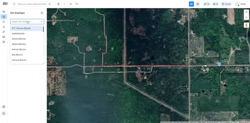
With our GIS overlay feature, you can effortlessly upload your own JSON-formatted GIS data, allowing for comprehensive viewing and editing of your fiber plant. Gain valuable insights into property plots and ownership details, enhancing your decision-making capabilities.
Import Existing Maps
Seamlessly transition from your legacy systems by importing existing KML maps and converting them to JSON format. Transform outdated maps into the intuitive MapItRight interface to maintain continuity and accuracy in your projects.
Know Your Areas
Planning to expand your network? GIS data tools help you identify optimal fiber routes to reach more customers. Perform detailed area analysis to strategically plan expansions for maximum impact.
Custom Overlays
While GIS data is the core of our overlay functionality, we also support custom overlays in JSON format. Add unique data layers tailored to your needs for greater flexibility in how you visualize and manage your network.